Filtrer les résultats
Résultats de la recherche
| Médias | Titre | Cote | Date | Lieu | Type de document | |
|---|---|---|---|---|---|---|
|
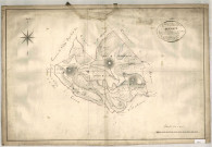
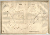
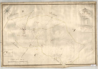
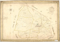
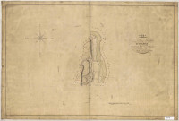
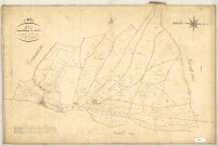
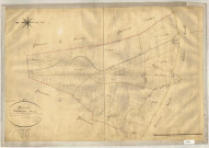
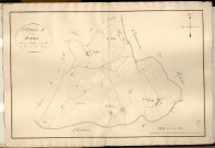
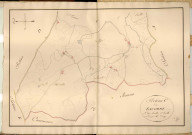
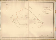
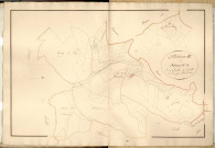
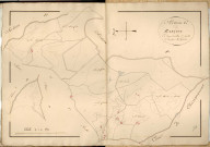
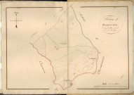
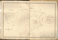
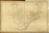
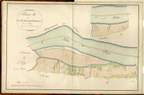
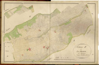
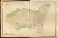
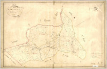
Résultat n°1
|
1 media |
Cote 00002, 3P1
|
Date 1819
|
Lieu
AFFOUX
|
Type de document
Plan cadastral
|
|
|
||||||
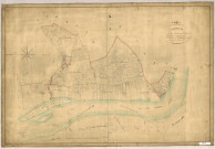
|
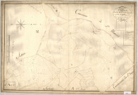
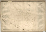
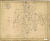
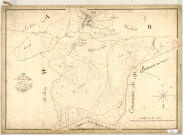
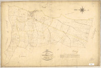
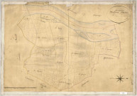
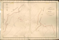
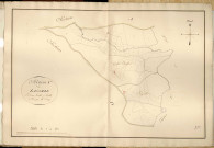
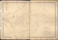
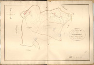
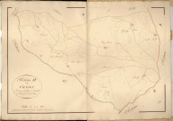
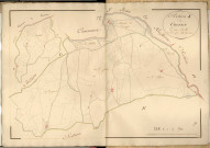
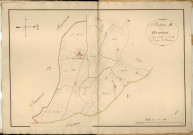
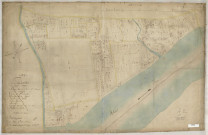
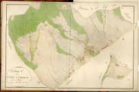
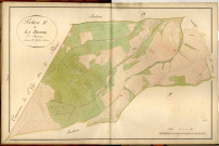
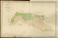
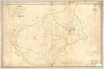
Résultat n°2
|
1 media |
Cote 00003, 3P2
|
Date 1819
|
Lieu
AFFOUX
|
Type de document
Plan cadastral
|
|
|
||||||
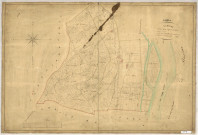
|
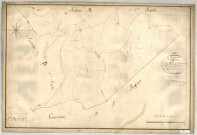
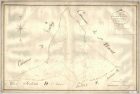
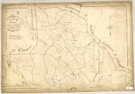
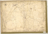
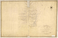
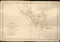
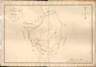
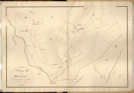
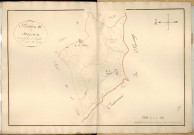
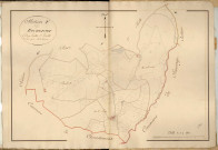
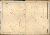
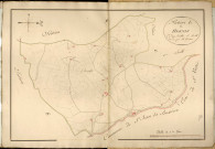
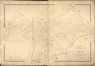
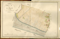
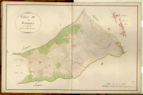
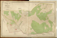
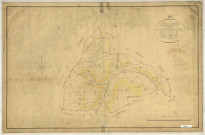
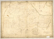
Résultat n°3
|
1 media |
Cote 00004, 3P3
|
Date 1819
|
Lieu
AFFOUX
|
Type de document
Plan cadastral
|
|
|
||||||
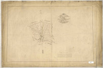
|
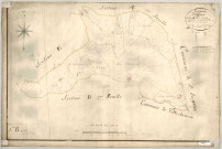
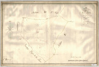
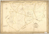
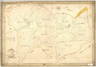
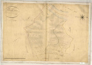
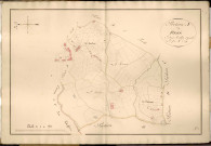
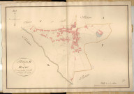
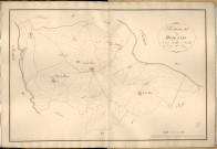
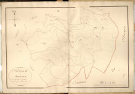
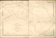
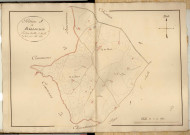
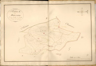
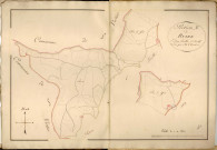
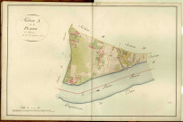
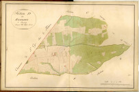
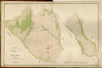
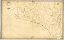
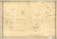
Résultat n°4
|
1 media |
Cote 00005, 3P4
|
Date 1819
|
Lieu
AFFOUX
|
Type de document
Plan cadastral
|
|
|
||||||
|
Résultat n°5
|
1 media |
Cote 00006, 3P5
|
Date 1819
|
Lieu
AFFOUX
|
Type de document
Plan cadastral
|
|
|
||||||
|
Résultat n°6
|
1 media |
Cote 00007, 3P6
|
Date 1819
|
Lieu
AFFOUX
|
Type de document
Plan cadastral
|
|
|
||||||
|
Résultat n°7
|
1 media |
Cote 00008, 3P7
|
Date 1819
|
Lieu
AFFOUX
|
Type de document
Plan cadastral
|
|
|
||||||
|
Résultat n°8
|
1 media |
Cote 00009, 3P8
|
Date 1819
|
Lieu
AFFOUX
|
Type de document
Plan cadastral
|
|
|
||||||
|
Résultat n°9
|
|
Cote 0000_1117
|
Date- |
Lieu
LES ETOUX
|
Type de document
Plan cadastral
|
|
|
||||||
|
Résultat n°10
|
|
Cote 0000_2702
|
Date 1828
|
Lieu
VAISE
|
Type de document
Plan cadastral
|
|
|
||||||
|
Résultat n°11
|
1 media |
Cote 00010, 3P9
|
Date 1819
|
Lieu
AFFOUX
|
Type de document
Plan cadastral
|
|
|
||||||
|
Résultat n°12
|
1 media |
Cote 00012, 3P10
|
Date 1825
|
Lieu
AIGUEPERSE
|
Type de document
Plan cadastral
|
|
|
||||||
|
Résultat n°13
|
1 media |
Cote 00013, 3P11
|
Date 1825
|
Lieu
AIGUEPERSE
|
Type de document
Plan cadastral
|
|
|
||||||
|
Résultat n°14
|
1 media |
Cote 00014, 3P12
|
Date 1825
|
Lieu
AIGUEPERSE
|
Type de document
Plan cadastral
|
|
|
||||||
|
Résultat n°15
|
1 media |
Cote 00015, 3P13
|
Date 1826
|
Lieu
AIGUEPERSE
|
Type de document
Plan cadastral
|
|
|
||||||
|
Résultat n°16
|
1 media |
Cote 00016, 3P14
|
Date 1825
|
Lieu
AIGUEPERSE
|
Type de document
Plan cadastral
|
|
|
||||||
|
Résultat n°17
|
1 media |
Cote 00017, 3P15
|
Date 1825
|
Lieu
AIGUEPERSE
|
Type de document
Plan cadastral
|
|
|
||||||
|
Résultat n°18
|
1 media |
Cote 00018, 3P16
|
Date 1826
|
Lieu
AIGUEPERSE
|
Type de document
Plan cadastral
|
|
|
||||||
|
Résultat n°19
|
1 media |
Cote 00020, 3P17
|
Date 1828
|
Lieu
ALBIGNY-SUR-SAONE
|
Type de document
Plan cadastral
|
|
|
||||||
|
Résultat n°20
|
1 media |
Cote 00021, 3P18
|
Date 1828
|
Lieu
ALBIGNY-SUR-SAONE
|
Type de document
Plan cadastral
|
|
|
||||||
|
Résultat n°21
|
1 media |
Cote 00022, 3P19
|
Date 1828
|
Lieu
ALBIGNY-SUR-SAONE
|
Type de document
Plan cadastral
|
|
|
||||||
|
Résultat n°22
|
1 media |
Cote 00024, 3P20
|
Date 1829
|
Lieu
ALIX
|
Type de document
Plan cadastral
|
|
|
||||||
|
Résultat n°23
|
1 media |
Cote 00025, 3P21
|
Date 1829
|
Lieu
ALIX
|
Type de document
Plan cadastral
|
|
|
||||||
|
Résultat n°24
|
1 media |
Cote 00026, 3P22
|
Date 1829
|
Lieu
ALIX
|
Type de document
Plan cadastral
|
|
|
||||||
|
Résultat n°25
|
1 media |
Cote 00028, 3P23
|
Date 1829
|
Lieu
AMBERIEUX-D'AZERGUES
|
Type de document
Plan cadastral
|
|
|
||||||
|
Résultat n°26
|
1 media |
Cote 00029, 3P24
|
Date 1829
|
Lieu
AMBERIEUX-D'AZERGUES
|
Type de document
Plan cadastral
|
|
|
||||||
|
Résultat n°27
|
1 media |
Cote 00030, 3P25
|
Date 1829
|
Lieu
AMBERIEUX-D'AZERGUES
|
Type de document
Plan cadastral
|
|
|
||||||
|
Résultat n°28
|
1 media |
Cote 00031, 3P26
|
Date 1829
|
Lieu
AMBERIEUX-D'AZERGUES
|
Type de document
Plan cadastral
|
|
|
||||||
|
Résultat n°29
|
1 media |
Cote 00033, 3P2607
|
Date 1813
|
Lieu
AMPLEPUIS
|
Type de document
Plan cadastral
|
|
|
||||||
|
Résultat n°30
|
1 media |
Cote 00034, 3P2607
|
Date 1813
|
Lieu
AMPLEPUIS
|
Type de document
Plan cadastral
|
|
|
||||||
|
Résultat n°31
|
1 media |
Cote 00035, 3P2607
|
Date 1813
|
Lieu
AMPLEPUIS
|
Type de document
Plan cadastral
|
|
|
||||||
|
Résultat n°32
|
1 media |
Cote 00036, 3P2607
|
Date 1813
|
Lieu
AMPLEPUIS
|
Type de document
Plan cadastral
|
|
|
||||||
|
Résultat n°33
|
1 media |
Cote 00037, 3P2607
|
Date 1813
|
Lieu
AMPLEPUIS
|
Type de document
Plan cadastral
|
|
|
||||||
|
Résultat n°34
|
1 media |
Cote 00038, 3P2607
|
Date 1813
|
Lieu
AMPLEPUIS
|
Type de document
Plan cadastral
|
|
|
||||||
|
Résultat n°35
|
1 media |
Cote 00039, 3P2607
|
Date 1813
|
Lieu
AMPLEPUIS
|
Type de document
Plan cadastral
|
|
|
||||||
|
Résultat n°36
|
1 media |
Cote 00040, 3P2607
|
Date 1813
|
Lieu
AMPLEPUIS
|
Type de document
Plan cadastral
|
|
|
||||||
|
Résultat n°37
|
1 media |
Cote 00041, 3P2607
|
Date 1813
|
Lieu
AMPLEPUIS
|
Type de document
Plan cadastral
|
|
|
||||||
|
Résultat n°38
|
1 media |
Cote 00042, 3P2607
|
Date 1813
|
Lieu
AMPLEPUIS
|
Type de document
Plan cadastral
|
|
|
||||||
|
Résultat n°39
|
1 media |
Cote 00043, 3P2607
|
Date 1813
|
Lieu
AMPLEPUIS
|
Type de document
Plan cadastral
|
|
|
||||||
|
Résultat n°40
|
1 media |
Cote 00044, 3P2607
|
Date 1813
|
Lieu
AMPLEPUIS
|
Type de document
Plan cadastral
|
|
|
||||||
|
Résultat n°41
|
1 media |
Cote 00045, 3P2607
|
Date 1813
|
Lieu
AMPLEPUIS
|
Type de document
Plan cadastral
|
|
|
||||||
|
Résultat n°42
|
1 media |
Cote 00046, 3P2607
|
Date 1813
|
Lieu
AMPLEPUIS
|
Type de document
Plan cadastral
|
|
|
||||||
|
Résultat n°43
|
1 media |
Cote 00047, 3P2607
|
Date 1813
|
Lieu
AMPLEPUIS
|
Type de document
Plan cadastral
|
|
|
||||||
|
Résultat n°44
|
1 media |
Cote 00048, 3P2607
|
Date 1813
|
Lieu
AMPLEPUIS
|
Type de document
Plan cadastral
|
|
|
||||||
|
Résultat n°45
|
1 media |
Cote 00049, 3P2607
|
Date 1813
|
Lieu
AMPLEPUIS
|
Type de document
Plan cadastral
|
|
|
||||||
|
Résultat n°46
|
1 media |
Cote 00050, 3P2607
|
Date 1813
|
Lieu
AMPLEPUIS
|
Type de document
Plan cadastral
|
|
|
||||||
|
Résultat n°47
|
1 media |
Cote 00051, 3P2607
|
Date 1813
|
Lieu
AMPLEPUIS
|
Type de document
Plan cadastral
|
|
|
||||||
|
Résultat n°48
|
1 media |
Cote 00052, 3P2607
|
Date 1813
|
Lieu
AMPLEPUIS
|
Type de document
Plan cadastral
|
|
|
||||||
|
Résultat n°49
|
1 media |
Cote 00053, 3P2607
|
Date 1813
|
Lieu
AMPLEPUIS
|
Type de document
Plan cadastral
|
|
|
||||||
|
Résultat n°50
|
1 media |
Cote 00054, 3P2607
|
Date 1813
|
Lieu
AMPLEPUIS
|
Type de document
Plan cadastral
|
|
|
||||||
|
Résultat n°51
|
1 media |
Cote 00055, 3P2607
|
Date 1813
|
Lieu
AMPLEPUIS
|
Type de document
Plan cadastral
|
|
|
||||||
|
Résultat n°52
|
1 media |
Cote 00056, 3P2607
|
Date 1813
|
Lieu
AMPLEPUIS
|
Type de document
Plan cadastral
|
|
|
||||||
|
Résultat n°53
|
1 media |
Cote 00057, 3P2607
|
Date 1813
|
Lieu
AMPLEPUIS
|
Type de document
Plan cadastral
|
|
|
||||||
|
Résultat n°54
|
1 media |
Cote 00058, 3P2607
|
Date 1813
|
Lieu
AMPLEPUIS
|
Type de document
Plan cadastral
|
|
|
||||||
|
Résultat n°55
|
1 media |
Cote 00059, 3P2607
|
Date 1813
|
Lieu
AMPLEPUIS
|
Type de document
Plan cadastral
|
|
|
||||||
|
Résultat n°56
|
1 media |
Cote 00060, 3P2607
|
Date 1813
|
Lieu
AMPLEPUIS
|
Type de document
Plan cadastral
|
|
|
||||||
|
Résultat n°57
|
1 media |
Cote 00061, 3P2607
|
Date 1813
|
Lieu
AMPLEPUIS
|
Type de document
Plan cadastral
|
|
|
||||||
|
Résultat n°58
|
1 media |
Cote 00062, 3P2607
|
Date 1813
|
Lieu
AMPLEPUIS
|
Type de document
Plan cadastral
|
|
|
||||||
|
Résultat n°59
|
1 media |
Cote 00064, 3P2605
|
Date 1809
|
Lieu
AMPUIS
|
Type de document
Plan cadastral
|
|
|
||||||
|
Résultat n°60
|
1 media |
Cote 00065, 3P2605
|
Date 1809
|
Lieu
AMPUIS
|
Type de document
Plan cadastral
|
|
|
||||||
|
Résultat n°61
|
1 media |
Cote 00066, 3P2605
|
Date 1809
|
Lieu
AMPUIS
|
Type de document
Plan cadastral
|
|
|
||||||
|
Résultat n°62
|
1 media |
Cote 00067, 3P59
|
Date 1809
|
Lieu
AMPUIS
|
Type de document
Plan cadastral
|
|
|
||||||
|
Résultat n°63
|
1 media |
Cote 00068, 3P2605
|
Date 1809
|
Lieu
AMPUIS
|
Type de document
Plan cadastral
|
|
|
||||||
|
Résultat n°64
|
1 media |
Cote 00069, 3P2605
|
Date 1809
|
Lieu
AMPUIS
|
Type de document
Plan cadastral
|
|
|
||||||
|
Résultat n°65
|
1 media |
Cote 00070, 3P2605
|
Date 1809
|
Lieu
AMPUIS
|
Type de document
Plan cadastral
|
|
|
||||||
|
Résultat n°66
|
1 media |
Cote 00071, 3P2605
|
Date 1809
|
Lieu
AMPUIS
|
Type de document
Plan cadastral
|
|
|
||||||
|
Résultat n°67
|
1 media |
Cote 00072, 3P2605
|
Date 1809
|
Lieu
AMPUIS
|
Type de document
Plan cadastral
|
|
|
||||||
|
Résultat n°68
|
1 media |
Cote 00073, 3P2605
|
Date 1809
|
Lieu
AMPUIS
|
Type de document
Plan cadastral
|
|
|
||||||
|
Résultat n°69
|
1 media |
Cote 00074, 3P2605
|
Date 1809
|
Lieu
AMPUIS
|
Type de document
Plan cadastral
|
|
|
||||||
|
Résultat n°70
|
1 media |
Cote 00075, 3P2605
|
Date 1809
|
Lieu
AMPUIS
|
Type de document
Plan cadastral
|
|
|
||||||
|
Résultat n°71
|
1 media |
Cote 00076, 3P2605
|
Date 1809
|
Lieu
AMPUIS
|
Type de document
Plan cadastral
|
|
|
||||||
|
Résultat n°72
|
1 media |
Cote 00077, 3P2605
|
Date 1809
|
Lieu
AMPUIS
|
Type de document
Plan cadastral
|
|
|
||||||
|
Résultat n°73
|
1 media |
Cote 00079, 3P70
|
Date 1819
|
Lieu
ANCY
|
Type de document
Plan cadastral
|
|
|
||||||
|
Résultat n°74
|
1 media |
Cote 00080, 3P71
|
Date 1819
|
Lieu
ANCY
|
Type de document
Plan cadastral
|
|
|
||||||
|
Résultat n°75
|
1 media |
Cote 00081, 3P72
|
Date 1819
|
Lieu
ANCY
|
Type de document
Plan cadastral
|
|
|
||||||
|
Résultat n°76
|
1 media |
Cote 00082, 3P73
|
Date 1819
|
Lieu
ANCY
|
Type de document
Plan cadastral
|
|
|
||||||
|
Résultat n°77
|
1 media |
Cote 00083, 3P74
|
Date 1819
|
Lieu
ANCY
|
Type de document
Plan cadastral
|
|
|
||||||
|
Résultat n°78
|
1 media |
Cote 00084, 3P75
|
Date 1819
|
Lieu
ANCY
|
Type de document
Plan cadastral
|
|
|
||||||
|
Résultat n°79
|
1 media |
Cote 00085, 3P76
|
Date 1819
|
Lieu
ANCY
|
Type de document
Plan cadastral
|
|
|
||||||
|
Résultat n°80
|
1 media |
Cote 00086, 3P77
|
Date 1819
|
Lieu
ANCY
|
Type de document
Plan cadastral
|
|
|
||||||